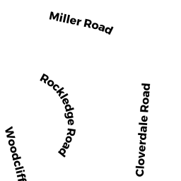
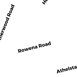
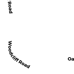
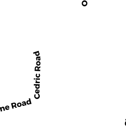
106-108 ATHELSTANE RD
Owner Information
COOK KATHERINE SYDNEY
106 ATHELSTANE RD
NEWTON, MA 02459


Property Details
106-108 ATHELSTANE RD is classified as a Two-Family Residential (Two family).
The primary structure on this property was built in 1927. There are 4,886ft2 of built area within this property. There is 2,857ft2 of residential/living space within this property. This property is listed as having 12 rooms.
106-108 ATHELSTANE RD is valued at $1,097,000. The land is valued at $681,000 and the structures are valued at $416,000.
This property is in Zone MR1. Confirm with local Zoning Board authorities to ensure there are no overlays or other easements on this property.
The most recent deed for 106-108 ATHELSTANE RD is recorded at the local registrar in Book 78355, Page 112. 106-108 ATHELSTANE RD was last sold on Thursday, July 29, 2021 for $1.
Assessment data from fiscal year 2022.
Flood Data
According to the FEMA National Flood Hazard Layer, this property does not appear to be in a flood zone. It may also be in an area not yet reviewed. Nonetheless, confirm this information prior to taking any action.
To view the flood hazards around this property, create a FEMA "Firmette" Map of the area around 106-108 ATHELSTANE RD.
Broadband Internet Providers
| Provider | Type | Bandwidth (mbps) | |
|---|---|---|---|
| Verizon New England Inc. | DSL | 5 | 0 |
| Viasat Inc | Satellite | 100 | 3 |
| RCN | Cable | 1000 | 20 |
| RCN | Cable | 500 | 20 |
| Comcast | Cable | 1000 | 35 |
| GCI Communication Corp. | Satellite | 0 | 0 |
| HughesNet | Satellite | 25 | 3 |
| VSAT Systems, LLC. | Satellite | 2 | 1 |
| Verizon New England Inc. | Fiber | 940 | 880 |
Broadband service provider data from December 2020.